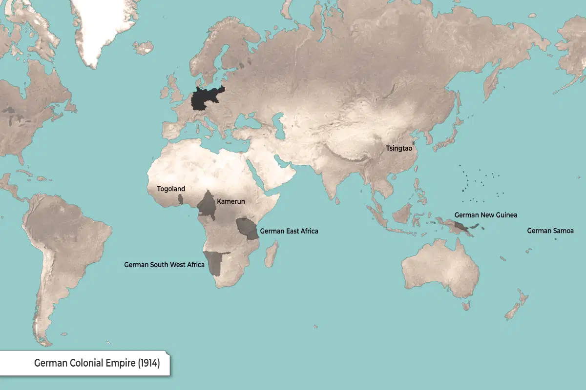
This map shows the German Colonial Empire in 1914, just before World War I. The dark areas highlight Germany’s overseas territories at the time.
- In Africa, Germany entered the so-called “Scramble for Africa” in late 19th century and established control over the following areas:
- Togoland (modern-day Togo and part of Ghana)
- Kamerun (modern-day Cameroon and parts of neighboring countries)
- German South West Africa (modern-day Namibia)
- German East Africa (modern-day Tanzania, Rwanda, and Burundi)
- In Asia, Germany controlled Tsingtao (Qingdao) in China.
- In the Pacific, German territories included:
- German New Guinea (northeastern New Guinea and nearby islands)
- German Samoa (now independent Samoa)
- Germany itself is shown in dark gray in Europe.
These colonies were mostly lost to Allied powers during and after World War I under the Treaty of Versailles in 1919.