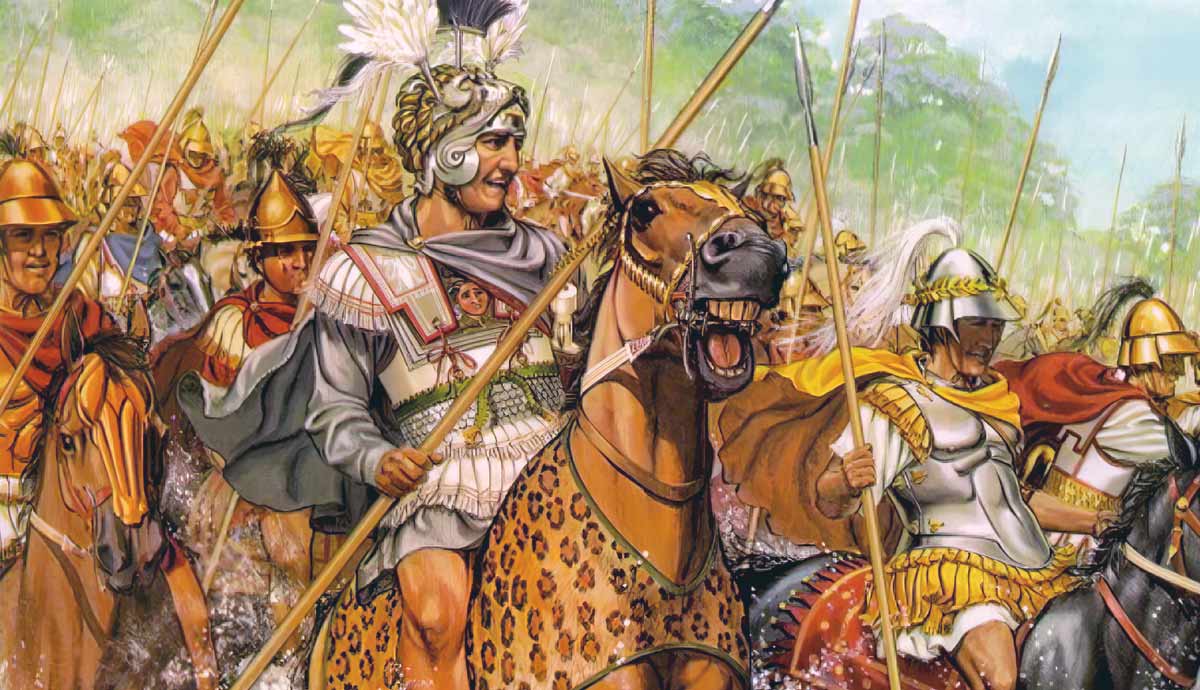
This map captures the turning point of the battle of the Granicus. Alexander’s river charge has succeeded and the Macedonian infantry is streaming over to consolidate. The Persian satrap Arsites (name in lower-right corner) and the general Memnon of Rhodes is unable to restore order. The Persians, despite superior cavalry numbers, are minutes away from collapse.
Colour code:
- Blue blocks = Alexander the Great’s Macedonian army.
- Red blocks = Persian satrapal army under Arsites, with allied Greek mercenaries.
Tactical picture conveyed by the map
- The blue wedge of Companion cavalry at A is the map’s focal point: Alexander has gained the east bank and is driving outward, splitting the Persian front.
- Blue arrows across the river show that the phalanx’s heavy pikemen are not far behind; once they’re fully deployed, the Persians will lose any chance of throwing Alexander back into the stream.
- Red formations are no longer a tidy cordon on the river’s lip. Labels such as “Various Persian Cavalry” are staggered and angled, illustrating a fighting withdrawal-cum-rout.
- Encirclement looming: With Thessalians crossing up-river and Companions deep in the centre, the opposing cavalry wings risk being pinched from two sides.
- Reserve in peril: The Greek mercenary hoplites—Persia’s best infantry—now fight in isolation. Their position (slanted, red dashed arrow) foreshadows the closing trap that will destroy them in the final phase.