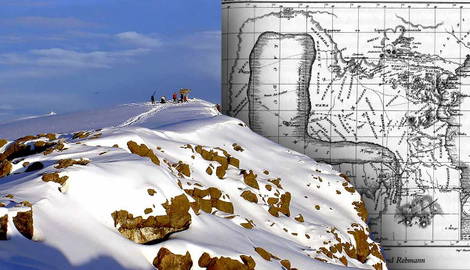

Johannes Rebmann was a German missionary and explorer who became the first European to see Mount Kilimanjaro. His reports of a snow-capped mountain in Equatorial Africa were dismissed by scientific elites at the Geographical Society of London. Rebmann’s claims were branded as delusions created under the influence of malaria. It was not feasible that snow could fall at Africa’s latitude, much less lie on the ground.
Johannes Rebmann and the First European Sighting
Rather than challenge their own limited understanding of equatorial climates, scientific European elites operated on the basis that the African landscape adhered to their own geographical assumptions of how it should be. Not only did this dismiss Rebmann’s reports, but it also devalued Indigenous knowledge of the Chagga people, who had inhabited the slopes of Mount Kilimanjaro for centuries. Consequently, this captured the cultural arrogance embedded in the European idea of discovery.
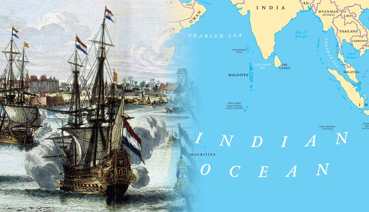
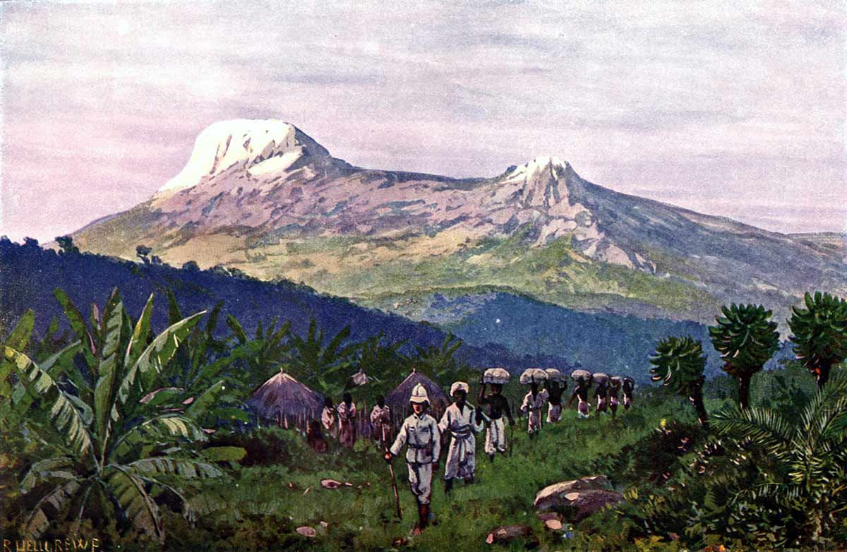
Johannes Rebmann arrived in East Africa in 1846. He was the first European to explore Africa from its Indian Ocean coast. Rebmann, along with his colleague, fellow German missionary Johann Ludwig Krapf, was responsible for the first exploration of Tanganyika, which is now modern-day Tanzania. After spending two years exploring the Pangani Valley, Rebmann set off to the Chagga region in search of Mount Kilimanjaro on April 27, 1848, without Krapf. Instead, he was accompanied by a guide, Bwana Kheri, and eight porters. On the morning of May 11, Rebmann stood before Mount Kilimanjaro. However, something was not quite right.
Rebmann attempted to make sense of what he had seen through writings in his journals. The mountain appeared to be capped with silver. Rebmann speculated it could be cloud cover. Kheri agreed with Rebmann that it might well have been a very white cloud. But after Rebmann took a few more steps closer to the mountain, he was no longer satisfied with that explanation. Kheri referred to it simply as cold. But for Rebmann, the white which he saw at the top of Mount Kilimanjaro was undeniably snow.
Rebmann was not a geographer. His primary objective, which he was still devoted to, was spreading Christianity. Although he returned to Rabai Mpya, he continued to write about and visit Kilimanjaro and the Chagga region over the next few years. He made a second trip in November 1848 when the weather was clear enough for him to observe and describe the two main peaks of Kilimanjaro. Then, in April 1849, accompanied by a team of 30 porters, Rebmann returned to Kilimanjaro once again, where he ascended a section of it so high that he was only within a few hours of the snow line.
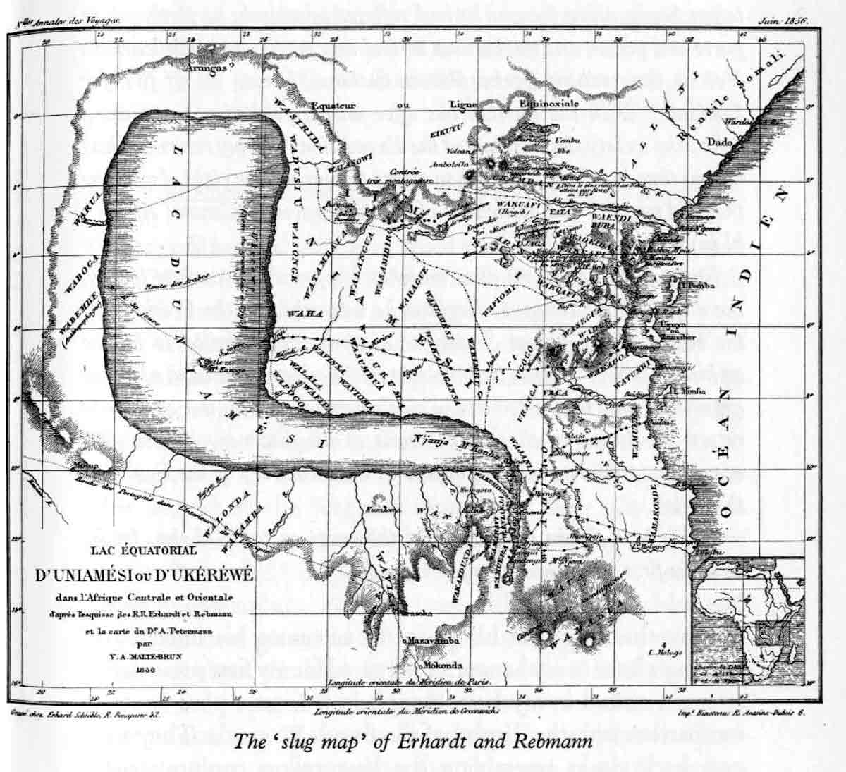
These three visits to the Chagga region and Kilimanjaro were foundational in the production of a map in 1855, known as the Slug Map, which accurately placed Mount Kenya and Mount Kilimanjaro. The map also indicated the existence of a large inland sea, which would later lead to the discovery of Lake Victoria by Europeans.
The Royal Geographical Society and the Rejection of Equatorial Snow
Rebmann’s reports of snow on Kilimanjaro fell on deaf ears. Most of the skepticism was influenced by William Desborough Cooley. Cooley was elected a fellow of the Royal Geographical Society of London in 1830. He was an esteemed geographer and historian who had earned a reputation as one of the world’s leading authorities on the geography of Africa. There was only one issue. Cooley had never once set foot in Africa.
He built his reputation on the analysis of maps, travel accounts, and historical sources. In other words, outside of Britain, Cooley was seen as little more than an armchair geographer. Despite acknowledging the existence of snow on the equator in South America, many European scientists believed sustained glaciated conditions in Equatorial Africa were impossible due to the tropical temperatures. In this instance, existing scientific models were regarded as more reliable than the firsthand accounts of a missionary working in Africa.
Several alternative explanations were proposed for Rebmann’s reports: he had mistaken quartz or another crystalline rock for snow; clouds had formed around the summit each time he had seen Kilimanjaro; he was deluded by the effects of malaria; or even that he was merely short-sighted. But, in 1862, German explorer Baron Carl von der Decken attempted to summit Kilimanjaro only to be stopped by a snowstorm halfway up the mountain. The following year, in 1864, the Royal Geographical Society of London awarded von der Decken a gold medal for his contribution to the exploration of East Africa, rectifying Rebmann’s claims that there was, in fact, snow on Kilimanjaro.
The Chagga People and the Ancient Reality of the Mountain
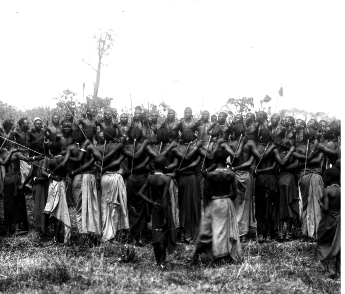
The Chagga people had inhabited the eastern and southern slopes of Kilimanjaro long before European explorers arrived. The Chagga made their way to Kilimanjaro from the northeast following upheaval in that region. There were already other Indigenous groups living on the slopes and bushland zones of the mountain, but they were either driven out or absorbed by the Chagga.
Upon his first observation of Kilimanjaro, Rebmann himself believed the Chagga people were unaware of the mountain’s extreme cold temperatures. He detailed in his journals that despite trying to warn them of their ensuing demise, no word in their language existed for snow. He was proven wrong upon his second trip when he learned that the Chagga were well aware of the summit’s snow, which gave the highest volcanic cone its Chagga name, Kibo (the bright peak), while using kora to describe the snow itself.
The fertile soils of the mountains made it easy for the Chagga to farm and practice agriculture, mainly growing bananas, as well as a variety of fruits and vegetables such as yams, oranges, and lemons. They traded these goods with other ethnic groups within Tanzania as well as other neighboring countries.
Despite the Chagga people thriving on the slopes of Kilimanjaro long before the arrival of European explorers, there was still a problem with the assumption known as Eurocentrism. This idea suggests that European or Western experiences are the standard for experiencing truths. In geography, this led to the idea that places did not exist until they were “discovered” by Western travelers. For Cooley to dismiss claims of snow on Kilimanjaro, he was therefore devaluing the lived experiences of the Chagga people who had inhabited the mountain long before the arrival of Rebmann.
Hans Meyer and the Imperial Race to the Summit
The Scramble for Africa occurred during the late 19th and early 20th centuries. During this time, seven Western European countries (Belgium, France, Germany, Italy, Portugal, Spain, and the United Kingdom) contended for the control of Africa. Kilimanjaro quickly became a pawn, specifically between Britain and Germany, in efforts to gain control over territory in East Africa.
While Germany continued to steadily colonize East Africa, so did attempts to reach the summit of Kilimanjaro. Count Samuel Teleki of the Austro-Hungarian Empire made the most serious attempt at summiting Kibo Peak in 1887. While he managed to reach as far as the snow line, he was forced to turn around due to breathing difficulties. A year later, Dr. William Louis Abbott, an American naturalist who came to study flora and fauna, attempted to climb Kilimanjaro, but fell ill quickly during the ascent and had to turn around.
Although both their valiant efforts were unsuccessful, they did contribute to the first successful summit of Kilimanjaro by Dr. Hans Meyer, a German geographer. During Meyer’s first trip to the region in 1887, he met Teleki, who provided him with information on his attempt. Similarly, Abbott provided Meyer and his party with accommodation in the town of Moshi during Meyer’s successful summit attempt the following year in 1889.
Meyer attempted to conquer Kilimanjaro three times before he succeeded. In 1887, he reached the edge of the Kibo ice cap, but was forced to turn around due to a lack of proper equipment necessary for navigating the ice. In 1888, Meyer planned a second attempt with Oscar Baumann, an Austrian cartographer. This coincided with the outbreak of the Abushiri War, in which the pair were captured and held for ransom.
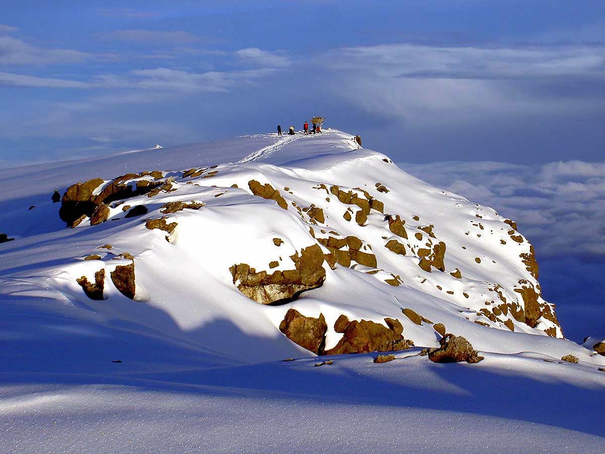
The year of the summit was 1889. Meyer was accompanied by Austrian mountaineer Ludwig Purtscheller. They developed a tactic of establishing camps as they ascended. These camps were stocked with food and supplies, meaning they did not have to fully descend the mountain to resupply. With this strategy, Meyer and Purtscheller, along with Chagga guides Kinyala Lauwo and Muini Amani, reached the highest summit of Kibo on the morning of October 6, 1889. He named the summit “Kaiser-Wilhelm-Spitze” after Kaiser Wilhelm, the German Emperor. Explanations for how or why snow could exist in equatorial Africa became inconsequential. After Meyer and his team conquered Kilimanjaro, it was solidified as a symbol of European geopolitical rivalry.
The Colonial Contradiction of Discovering an Inhabited Landscape
Johannes Rebmann was the first European to document Kilimanjaro for Westerners. Hans Meyer was the first person to reach the summit of Kilimanjaro. But Rebmann did not discover Kilimanjaro. The Chagga people had established communities on the slopes of the mountain and lived there for generations long before the arrival of European explorers. Rebmann merely introduced preexisting landscapes into European geographical knowledge.
Throughout the 19th century, exploration extended beyond scientific observation. Mapping unfamiliar territories, assigning European place names, and reaching prominent summits like Mount Kilimanjaro and Mount Kenya allowed colonial powers to manipulate geographical knowledge into political authority. Exploration became more than a means of understanding the world. It was a mechanism for asserting ownership over it.
These narratives continue to influence the modern tourism of people who attempt to climb Kilimanjaro each year. Accounts of Kilimanjaro frequently celebrate European explorers while giving comparatively little attention to the Chagga people, whose knowledge of the mountain predates colonial exploration by centuries.
The snows of Kilimanjaro reflect a broader pattern of 19th-century colonial thought. European scholars dismissed eyewitness accounts because they conflicted with preestablished theories of the African climate. Despite its accuracy, Indigenous knowledge from the Chagga people was excluded from scientific debates. Kilimanjaro, therefore, challenged European assumptions about the African landscape.
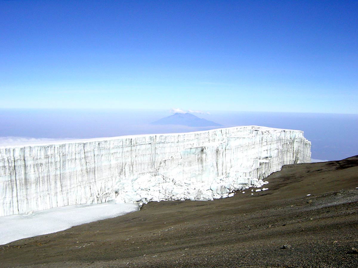
Rebmann’s eventual vindication highlights that the greatest obstacle to understanding Kilimanjaro was never about the mountain itself, but rather the unwillingness of European institutions to reconsider their beliefs when confronted with firsthand evidence from Africa. As for Cooley, he would most likely revel in knowing that today, very little snow is left on Kilimanjaro.