
Dutch colonists ruled New Amsterdam for forty years and transformed the southern tip of Manhattan from a small provincial settlement into a bustling metropolis. Much of what they built or established in the city remains there today for people to witness. Read on to learn more about ten sites in present-day New York that came into being during Dutch rule.
1. Bowling Green
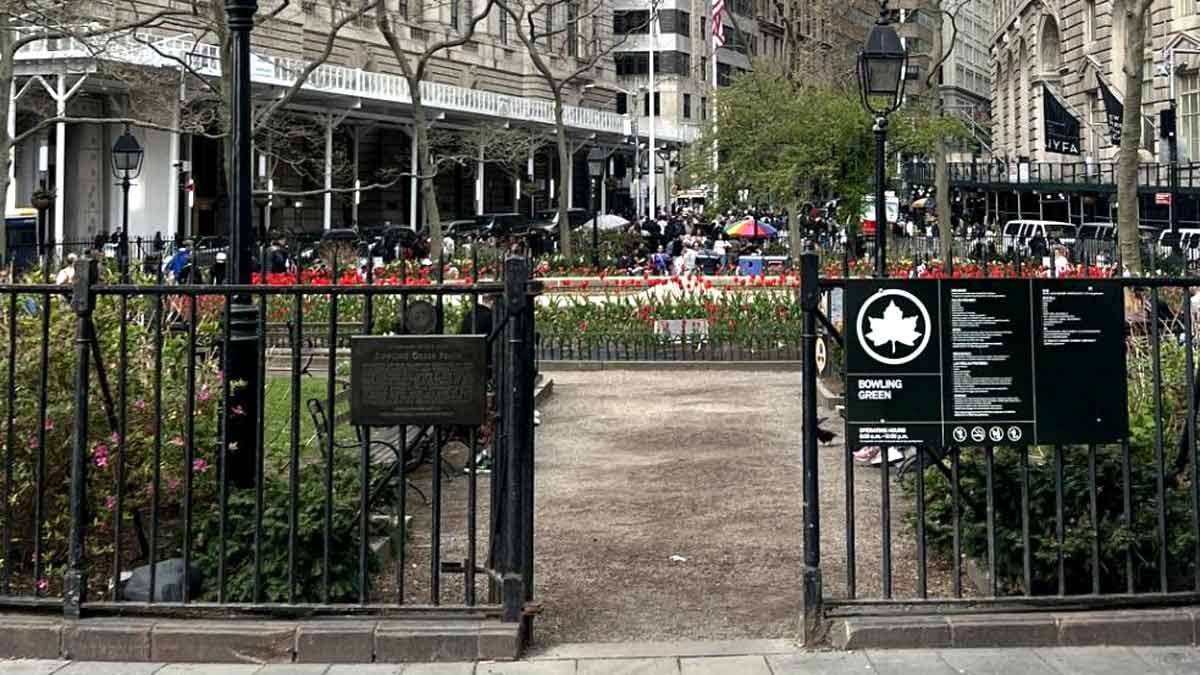
New York City’s oldest park, Bowling Green, was supposedly a council ground for Native American tribes and the meeting place between the Lenape and Peter Minuit in 1626. When the Dutch began developing New Amsterdam, they began utilizing the area for several different purposes. It sat right outside the walls of Fort Amsterdam, the central fortification in the colony and members of the garrison trained on the grounds.
Dutch merchants were heavily involved in cattle trading because of the proximity to other settlements in Long Island and the Hudson River Valley. Bowling Green functioned as a major cattle trading post, with farmers from all over New Netherland going there. It remained a critical center of municipal services even after the English took control of the city. Many of the streets around the park follow the layout envisioned by Dutch city planners and the park is at the end of Broadway, itself a relic of Dutch rule.
2. Pearl Street
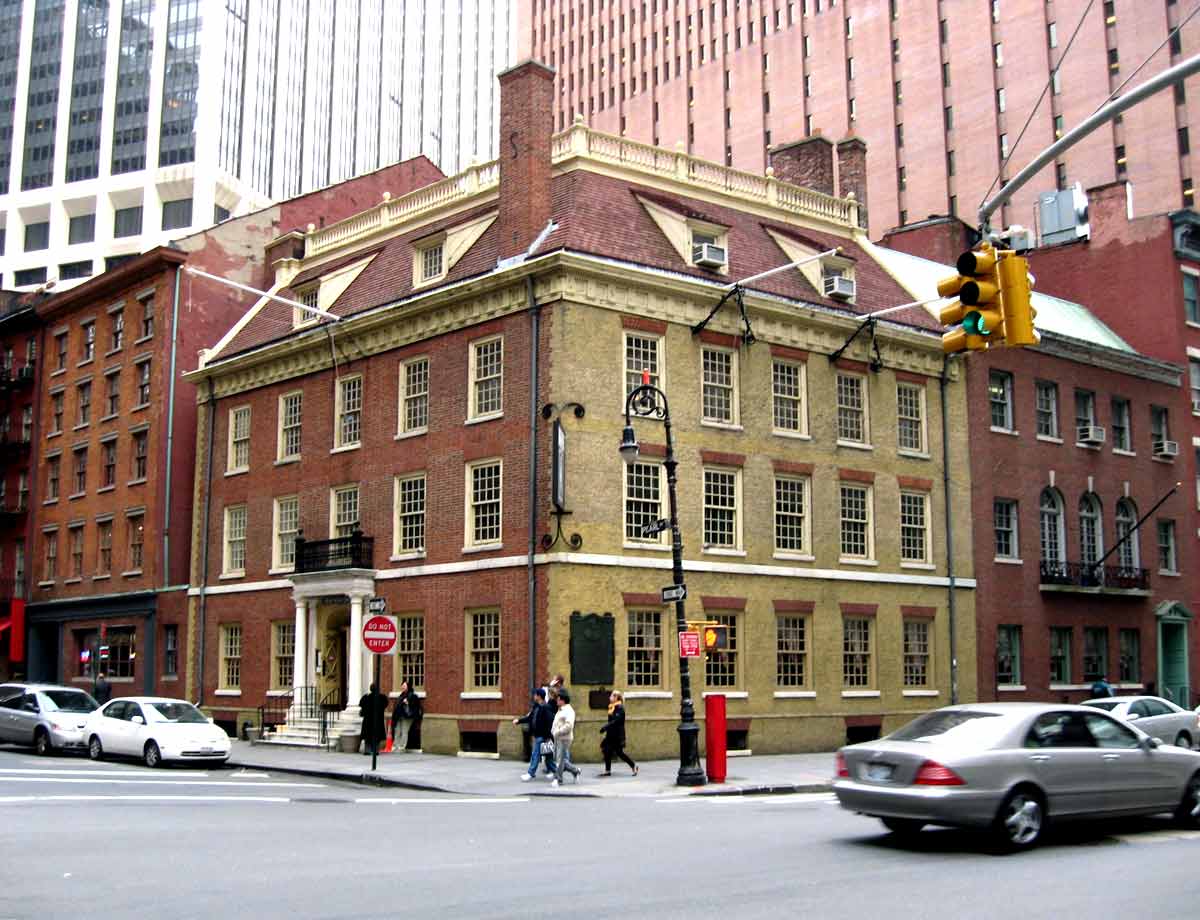
Pearl Street is one of Lower Manhattan’s many winding streets that predates the city’s 1811 grid plan. This is because the street follows the original shoreline of eastern Manhattan. It was named Parelstraat by the Dutch because of the shells and pearls that washed up on the sand next to the street. During Dutch rule, the shoreline on Pearl Street started to host docks and trade houses for exported goods managed by the Dutch West India Company. Many Dutch settlers also arrived through the docks used by the local authorities on Pearl Street.
The first church in the colony was located on Pearl Street and was built in 1633. In the 1650s, a tavern on the street became New Amsterdam’s city hall. Today, the street retains some Dutch colonial buildings, although it no longer touches the shoreline of Manhattan.
3. Stadt Huys Archaeological Site
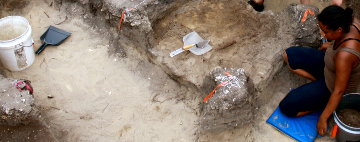
In 1642, Governor Willem Kieft ordered the construction of the City Tavern to entertain official guests. Located on Pearl Street, the Tavern was converted into New Amsterdam’s first City Hall, or Stadt Huys, in 1653 when the city gained its colonial charter from the States’ General. It served as the meeting place for the Court of Burgomasters and Schepens (town leaders), who convened on Monday mornings to resolve disputes between residents. It also functioned as the city’s administrative center, prison, and armory.
Its importance made it one of the most attractive buildings in the colony. However, it has not survived to the present day. It was demolished in 1699 when the English decided to move the city’s administration to the second City Hall at Wall and Nassau Streets (later known as Federal Hall). In the 1970s and 1980s, archaeologists dug out remains from the building and got the city to preserve it. Nowadays, visitors can see remnants of the building’s walls on Pearl Street.
4. Stone Street
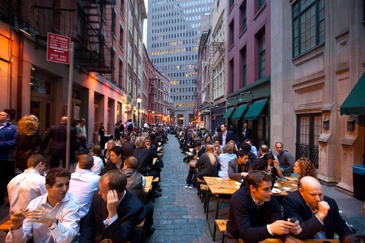
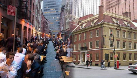
In the 1650s, New Amsterdam had a growing brewing industry, mostly located on Stone Street. Today, it is located in the Financial District next to Pearl Street. Stone Street acquired its name by virtue of being the first street to be paved with cobblestones in New Amsterdam. The city’s brewers became very wealthy, and Stone Street was considered one of the most prosperous neighborhoods in the colony. One of the breweries was owned by Oloff Stevense Van Cortlandt, whose family became one of the most prominent Dutch-American colonial families in New York.
In 1835, the Great Fire that consumed lower Manhattan destroyed much of the old Dutch architecture that defined the street. However, the residents managed to rebuild much of it and by the 1990s, Stone Street resembled what it looked like in the 17th century. Today, visitors can find plaques noting some historical sites, including some of the old cobblestones first laid on the street in the 1600s.
5. Wall Street
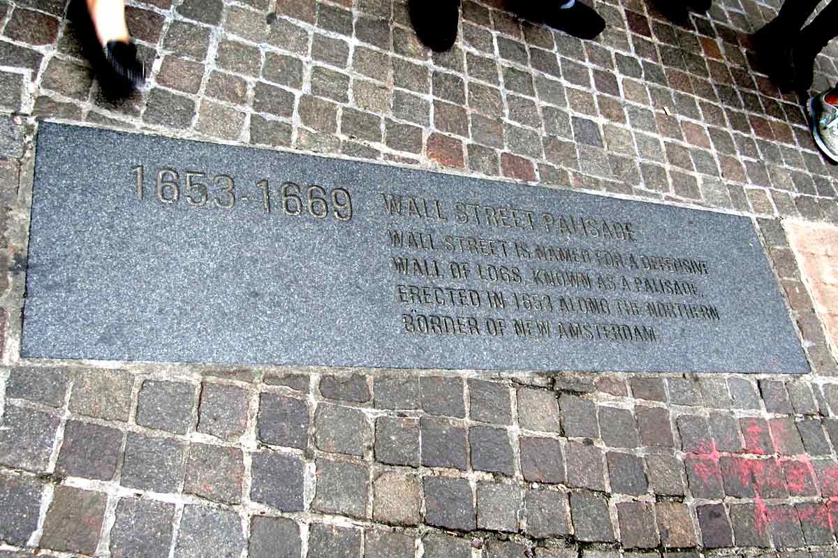
Synonymous with financial markets, Wall Street had a very different purpose under Dutch rule. In 1653, the Dutch Director-General Peter Stuyvesant ordered the construction of a barrier made of wooden planks and a ditch on the northern edge of the city limits. The wall was designed to keep out Native American tribespeople and English militiamen from New England, and to keep in fugitive slaves.
Ultimately, the wall proved unsuccessful. No native tribesmen bothered to attack the city and in 1664 the English seized the city by attacking it from the sea. In 1699, the English authorities ordered the wall demolished to enable the city’s expansion. However, Wall Street proved to be more than just a defensive barrier. Just inside the palisade, merchants sold goods under the protection of the city’s armed guard. As more settlers arrived on the island, businesses began sprouting up on Wall Street, contributing to the street’s identity as a place of exchange.
6. The Bowery
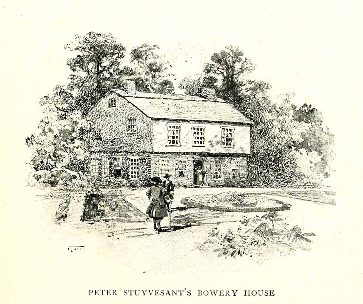
Before the Dutch arrived on Manhattan, locals used a footpath to get up and down the island. The Dutch widened the path to create a road known as bouwerij lane, or the Bowery. It was used to transport merchandise between New Amsterdam and local farms further north.
In 1651, Peter Stuyvesant, New Netherland’s most famous Director-General, purchased his official residence on the road from the West India Company and made it his private home. He transformed it into a largely self-sufficient estate known as the Great Bowery. The estate was later built over in the 19th century.
The Bowery was also famous for containing New Netherland’s first free Black settlement, as freed slaves were granted plots along the road to act as a buffer between native tribesmen and the settlers.
7. Broadway
Just like the Bowery path, Broadway was a major thoroughfare in New Amsterdam. The Lenape used the Wickquasgeck Trail for trade purposes and the Dutch continued using it after they purchased the island. Officially, the road was known as De Heere Straat, or Gentleman’s Street. Locals called it Breede Weg or Broad Way, since it was wider than most other colonial roads. The southern end of the road extended from New Amsterdam to the wooden palisade on Wall Street. The section inside New Amsterdam was widened and paved on Stuyvesant’s orders in 1658 to accommodate the growing number of horses in the colony.
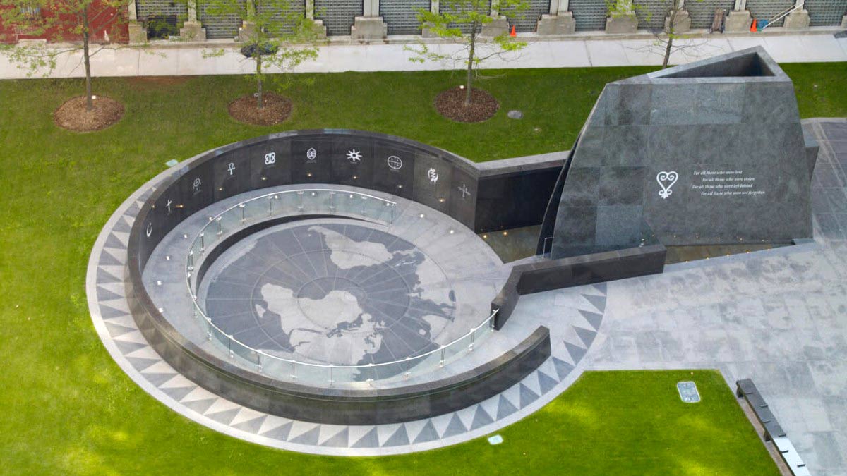
In 1991, diggers found the remains of an African burial ground underneath a federal office building at 290 Broadway. Since then, more details have been found about the cemetery, including that a large number of both free and enslaved Africans were buried there. A monument was placed there in 2007 and a museum was created to study the lives of Africans who lived in New Amsterdam and New York.
8. City Hall Park
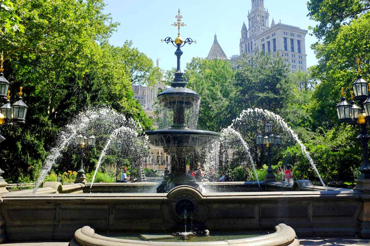
During the period of Dutch rule, what is today City Hall Park was a stretch of rural ground known as De Vlackte, or The Plain. It was a communal pasture open to all residents of the city. Similar to the grounds outside Fort Amsterdam, the city’s militia used the field as a parade and drill ground.
In 1663, a windmill was constructed there, becoming the first recorded structure on the grounds. Additionally, a pond called Collect Pond was used as a site for fresh water and formed a barrier between the field and the city’s residential areas. Today, it remains a communal space for city residents.
9. The Battery
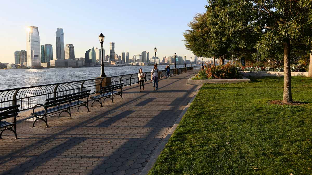
In order to defend the colony from a seaborne attack, the Dutch authorities built a series of fortifications that bolstered the city’s defenses. New Amsterdam’s shoreline was further inland than it is today, so the original battery was not at the park’s current location. However, archaeological digs in the area have found evidence of the old Dutch fortifications, including at the South Ferry Terminal.
The Dutch built a series of batteries with as many as 30 pieces of artillery pointing out to sea. While it was not enough to stop the English fleet from blockading the island, it was the centerpoint upon which future fortifications protecting the city were built. Today, a monument to Dutch settlers is in the park, along with the Netherland monument, gifted to New York in 1926.
10. Broad Street
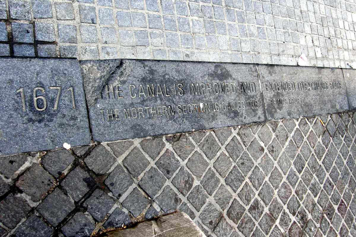
Before being turned into a road in 1676 by the British, Broad Street was actually a canal used by the Dutch to get materials into the colony from the seaport. Known as Heere Gracht, or the Broad Canal, it was lined by three bridges connecting merchant areas of the city with residential neighborhoods. The main canal ran from the East River to Beaver Street. A narrower northern continuation, often called the Prinzen Gracht, or Prince’s Canal, extended toward what is now Exchange Place.
A Sunday market held on its banks allowed farmers from Brooklyn to sell produce to the town’s residents. In 1659, the Dutch Reformed Church built an almshouse along the canal at what is today 30 Broad Street. A lot of colonial life revolved around the canal. Today, the road’s width is a testament to the original purpose as a canal and historical markers feature a timeline of the canal and its conversion into a road.