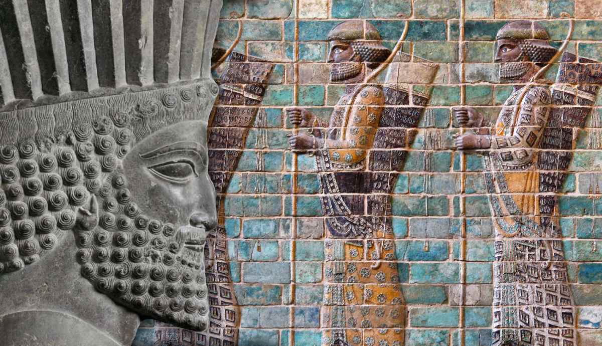

We often measure the success of ancient empires by their conquests, but the size and strength of empires depended as much on the extent and success of their trade routes as on the size of their armies. The health of empires depended on the movement of grain, metals, textiles, and other goods, as well as on the wealth accumulated from taxes on trade. Empires depended on roads, caravan posts, rivers, and sea routes. They connected distant regions and gave empires access to resources far beyond their own borders. When trade thrived, civilizations flourished. When they were disrupted, empires fell. Discover the trade routes that acted as the arterial veins of the most important ancient empires.
Persia’s Royal Road Was an Imperial and Mercantile Artery
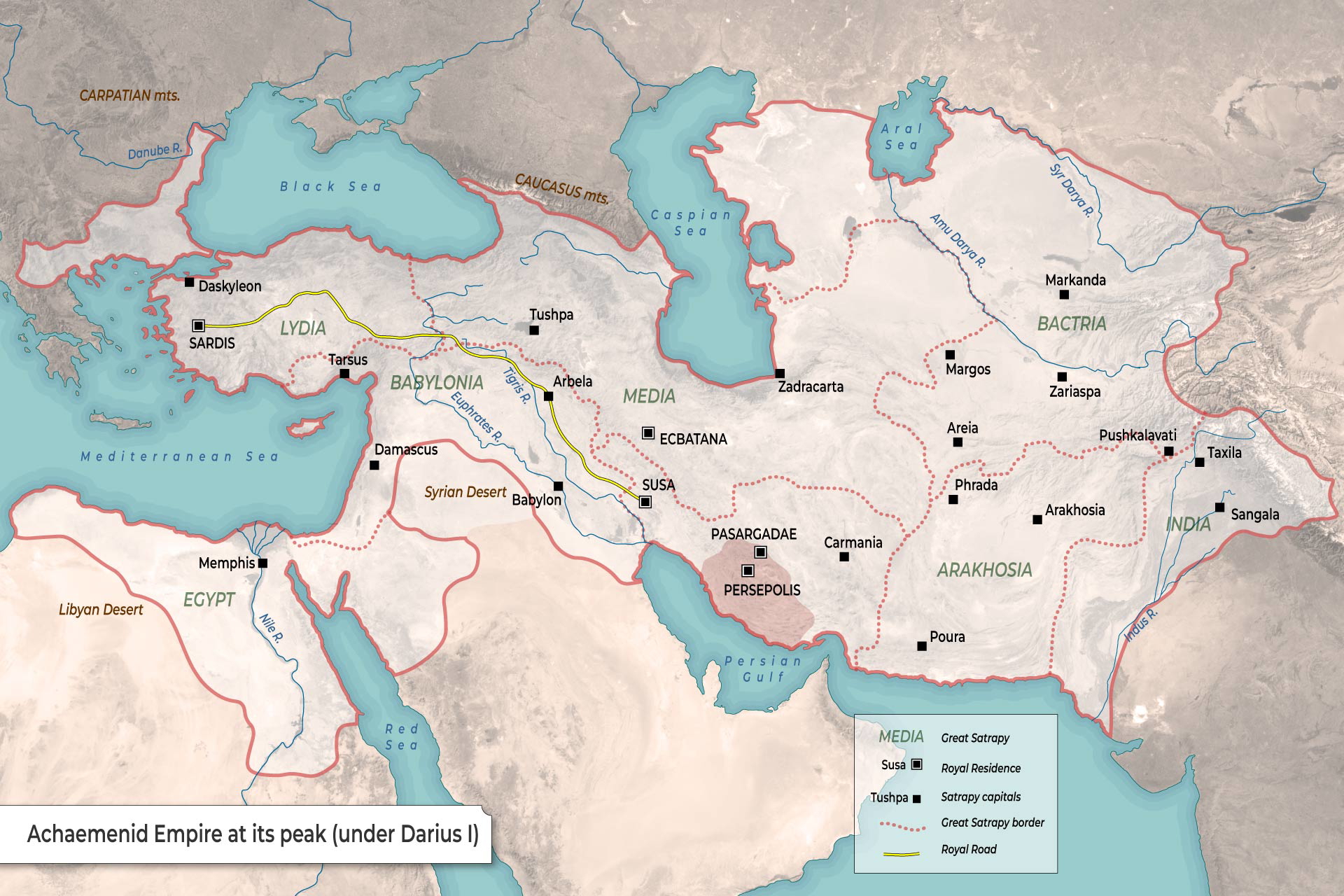
When Darius I came to power, the Achaemenid Empire (550-330 BC) stretched from Anatolia and the eastern Mediterranean to Mesopotamia and the Iranian plateau. Darius’ greatest challenge was to maintain communication with the distant provinces. Darius responded to this challenge by creating an extensive network of roads, the most famous of which was the Royal Road between Sardis and Susa. This route followed older roads and communication corridors.
Herodotus described the western part of this road. It stretched from Sardis, the Achaemenid administrative center of Lydia, eastwards through Phrygia, Cappadocia, Cilicia, Armenia, and Mesopotamia. The road continued, reaching Susa, one of the most important cities of the empire. Herodotus calculated the distance at 450 parasangs or 13,500 stades and recorded 111 royal stations along the route. If we try to convert that to the metric system, it’s a little over 2,600 kilometers.
The Royal Road was built along established routes specifically for government officials, such as the royal inspectors known as the “Eyes and Ears of the King.” Waystations were set up to support their movement, allowing official messengers to change tired horses or pass messages on to a fresh rider. This meant that an official message could travel from Susa to Sardis in about nine days, about a tenth of the time it would take a normal traveler. While merchants moved more slowly, these routes allowed trade to expand considerably.
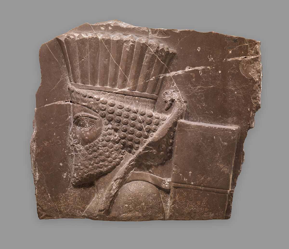
While the Royal Road was the most famous transportation route in the Achaemenid Empire, it was not their only important trade route. The guards posted to defend these routes meant that the roads were very safe, and that taxes could be collected on trade goods. Darius also standardized the currency with the gold Daric and silver Siglos, along with standard units of measurement for goods. Grain and textiles came out of Mesopotamia, gold and precious stones from India and Bactria, papyrus and wheat from Egypt, and olive oil and wine from Anatolia.
After Alexander the Great conquered the Persian Empire, the infrastructure was maintained by successor states like the Seleucid and Parthian empires, and later heavily utilized by the Romans where their borders met.
Roman Roads and Ports Powered an International Marketplace
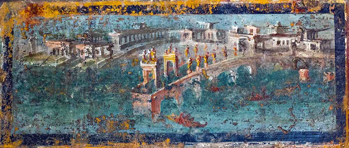
By the 1st century BC, Rome had become the dominant power in the Mediterranean. The process was gradual. Victory over Carthage in 146 BC removed Rome’s greatest competitor in the western Mediterranean. An expansionist mentality soon brought Spain, Greece, Asia Minor, and North Africa under Roman control, followed soon after by Gaul, Egypt, and other territories. The Italian city-state was now in command of a vast international empire centered around the Mediterranean, which they called Mare Nostrum, “our sea.”
One of the Empire’s biggest logistical concerns was grain supply, especially to the densely populated capital. Grain was procured in large quantities from Egypt, Sicily, and Sardinia. Egyptian wheat was especially important, transported down the Nile to Alexandria and then by ship across the Mediterranean to Italy. Olive oil, wine, and garum (fish sauce) were also transported along sea routes. The huge mound known as Monte Testaccio in Rome was built up from fragments of discarded oil amphorae, reflecting the sheer quantity of imports. Ostia and Portus, located at the mouth of the Tiber, were Rome’s principal ports. Sea trade is estimated to have been about 40 times less expensive than overland trade.
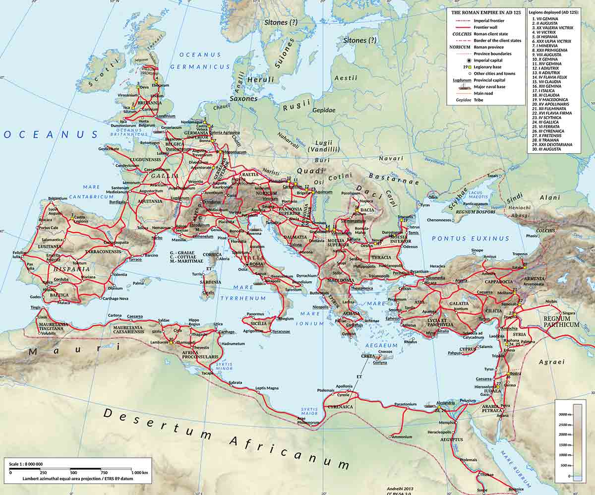
But land trade was also vital to the vast Roman Empire, supported by tens of thousands of miles of paved, reliable roads laid down by the Roman army as the Empire expanded. While trade was mostly conducted by private merchants, the army provided security and oversaw taxation that enriched the Empire. Taxes were usually 2%-5% of the value of the goods. Metals and minerals were among the most common goods moved over land.
When the Roman Empire in the West collapsed in the 5th century AD, long-distance international trade also collapsed. Trade became more local, though still using the roads left behind by Rome.
Egypt’s Red Sea Ports Connected the Mediterranean to the Indian Ocean
When Rome annexed Egypt around 30 BC, it gained direct access to the Red Sea. Through the Red Sea, Romans could reach the Indian Ocean with maritime networks. Two ports on this trade route became very important: Myos Hormos, near modern Quseir, and Berenike, farther south on the Red Sea coast.
Goods could travel from the Mediterranean Sea down the Nile, across the Eastern Desert by caravan, and then by ship to the Red Sea and Indian Ocean. This constituted one of the most continuous transport chains. By following the seasonal monsoon winds, sailors could travel farther into the Indian Ocean.
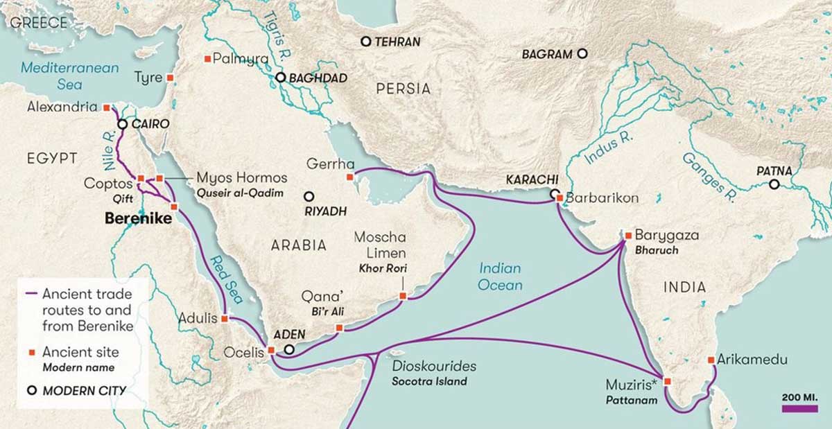
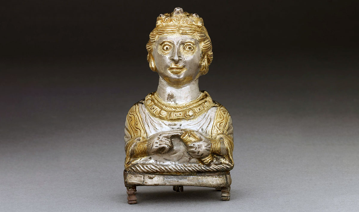
The scale of this trade is best seen in the archaeological remains of the aforementioned Berenike. Excavations have uncovered Indian pottery, textiles, pepper, inscriptions, and other artifacts that demonstrate direct links between the port and South Asia. Particularly striking is the large quantity of black pepper. Inscriptions in this city have been found in various languages.
Rome had an enormous financial benefit from these trade routes. Customs duties were charged on both imported and exported goods, and in some places along the desert roads there were also paid tolls.
Palmyra Built an Empire From a Trading Hub
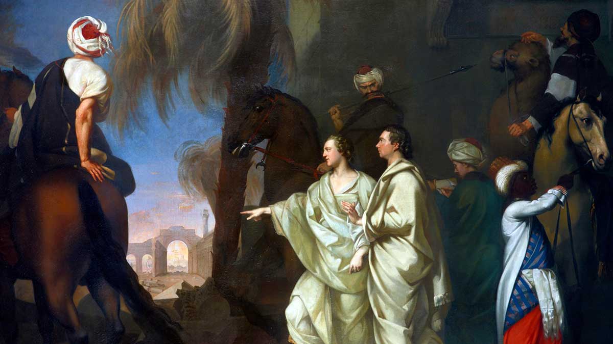
Cities at important locations along trade routes had the potential to become very powerful and wealthy. Palmyra, which sat in the Syrian desert connecting the Mediterranean with the cities of Mesopotamia and Persia, is a prime example. In Roman times, it was one of the most prosperous caravan centers in the Middle East.
The merchant elite accumulated so much wealth that they created an opulent and luxurious city. It boasted monumental tombs, grand temples, spacious agoras, and famous colonnaded city streets. The architecture of Palmyra reveals its cosmopolitan nature, mixing Greek and Roman architectural forms with Middle Eastern religious and artistic traditions.
This prosperity also had its drawbacks. It made Palmyra vulnerable to changes in the wider political environment. When Rome was weakened by the 3rd century AD crisis, the Sasanian Persian Empire, as a new political power in the east, launched repeated invasions of Roman territory, even capturing the Emperor Valerian in AD 260. Rather than waiting for Rome to restore order, King Odaenathus of Palmyra took the offensive against the Sasanians.
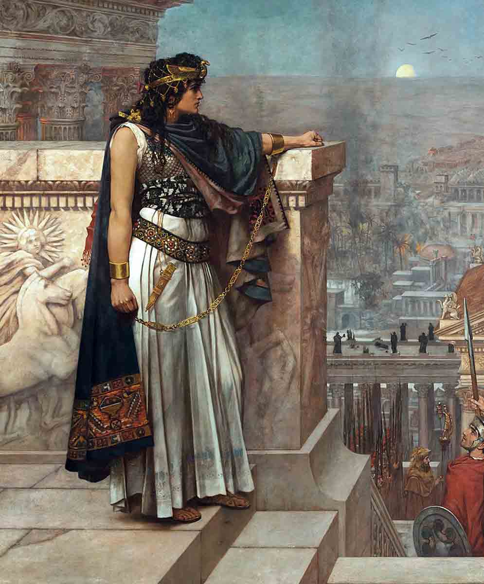
Palmyrene forces pushed the Sassanids across the Euphrates and invaded their territory, even reaching the capital Ctesiphon. Odaenathus remained a strong Roman-aligned leader of Palmyra until his death. But when his successor, Zenobia, had the opportunity to further expand her rule over much of the Roman East, including Syria and Egypt, she took it, creating the independent Palmyrene Empire.
Rome could not tolerate this, so the emperor Aurelian went to the east to restore Roman power. Palmyra fell at the end of AD 272, and Zenobia, who tried to escape, was captured and taken to Rome.
The Silk Road Enriched Successive Empires
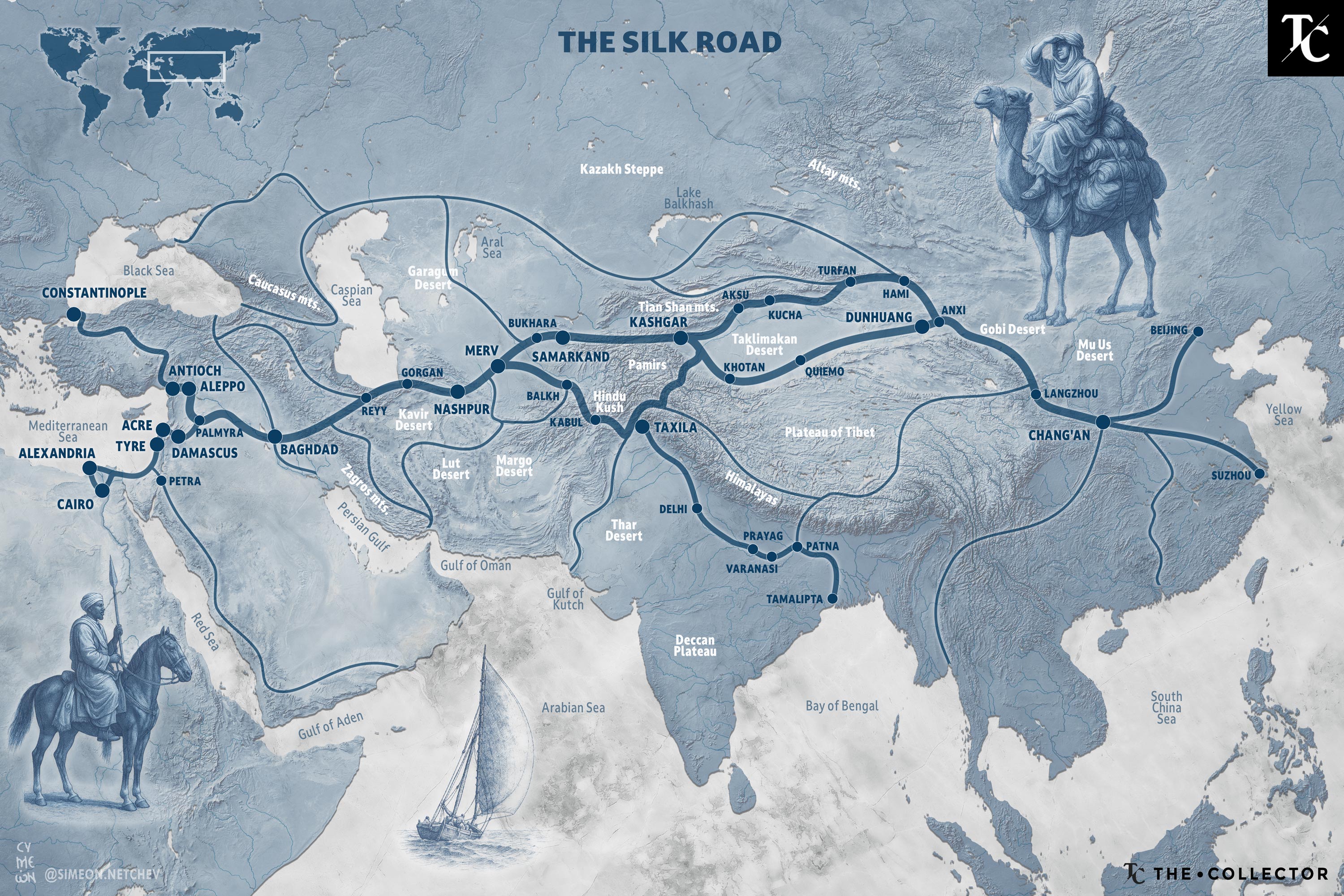
The Silk Road was not a continuous road that led from China to Rome. It was a complex network of routes that passed through Central Asia. It was established by the Han Dynasty in the 2nd century BC. As the name suggests, the most important commodity traded along this route was silk. For the Han Dynasty, silk was not just for trade. It was important in diplomacy because it was given as a gift to rulers and wealthy elites. Merchants carried silk farther west, creating demand in the Mediterranean.
One of the most important parts of the Silk Road was the Ferghana Valley between present-day Uzbekistan, Tajikistan, and Kyrgyzstan. According to Chinese sources, this valley was known for extremely large and strong horses. Many wars were fought over these horses.
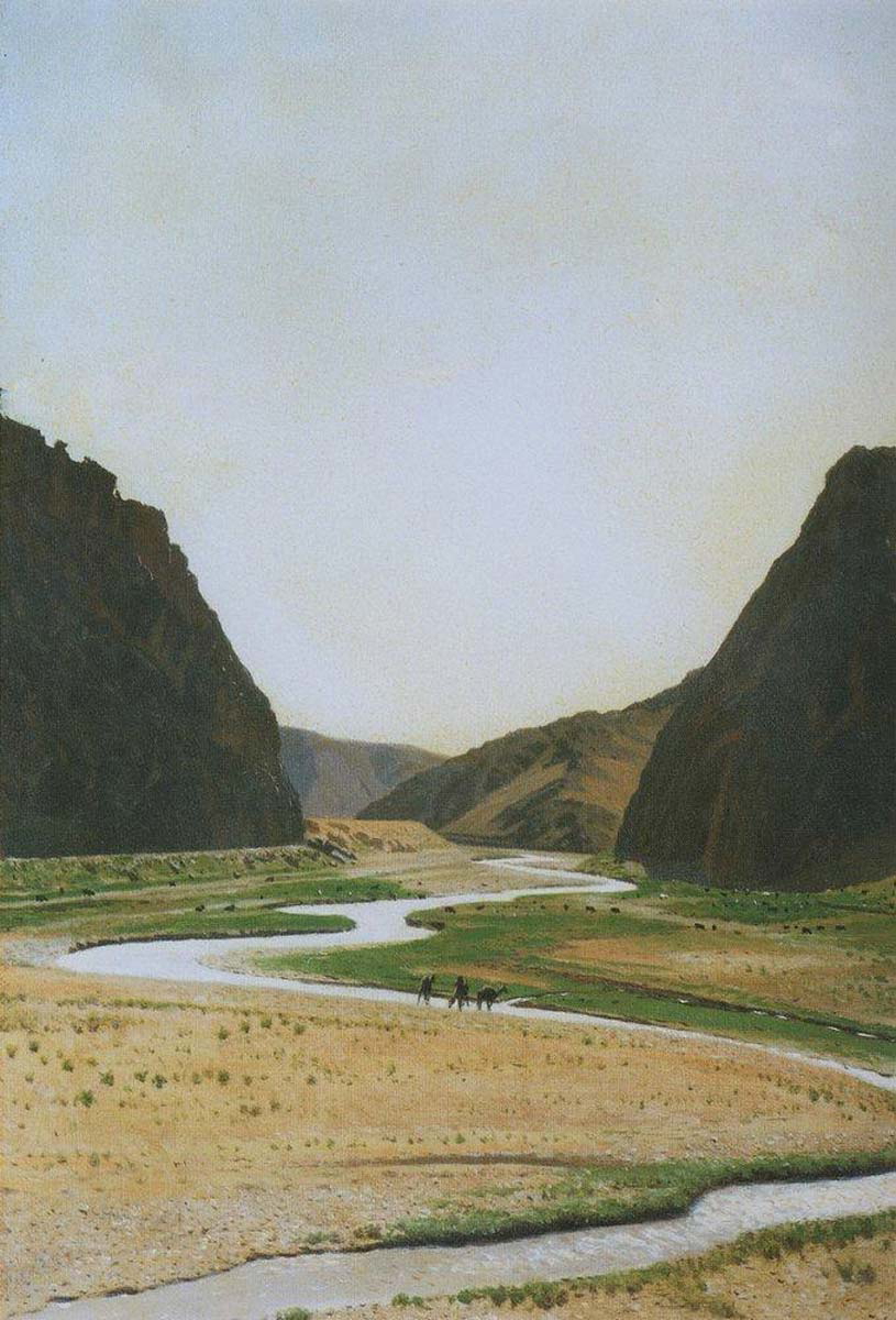
Farther west along the Silk Road, the Parthian Empire controlled the portion of the route that connected to the Mediterranean. This intermediary position between China and Rome was highly profitable as they taxed luxury goods and charged tolls.
The Kushan Empire also profited from the Silk Road. The Kushans controlled the territories around Afghanistan and northern India. The favorable geographical position led to the accumulation of wealth, and the rise of luxurious cosmopolitan cities similar to Palmyra. Gandhara art was a combination of Indian Buddhist motifs with artistic traditions influenced by the Hellenistic and Roman worlds.
Both the Han Dynasty and Parthian Empire fell in the 3rd century AD, but the trade routes they established continued to support the region. The Tang Dynasty and Umayyad and Abbasid Caliphates benefited from the route between the 7th and 10th centuries AD, while the Mongol Empire united almost the entire length of the road in the 13th century. It only declined in importance in the 15th century as maritime exploration opened up new sea trade routes.